Tag: datavis
-
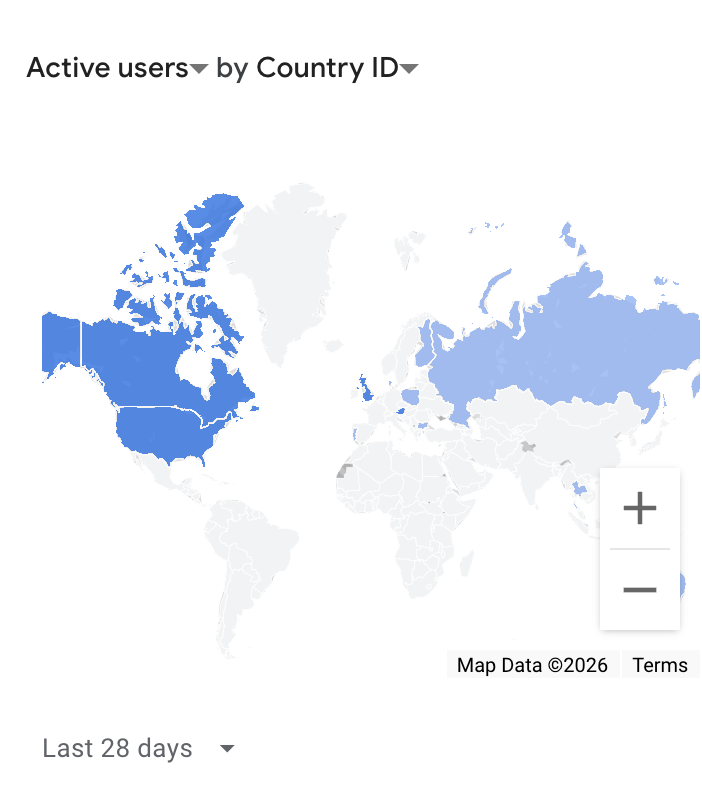
The worst way to visualize geographic data
The worst way to visualize geographic data Country choropleth maps are the wrong chart for visit counts. Or for any kind of count. They encode magnitude as land area, but...
-
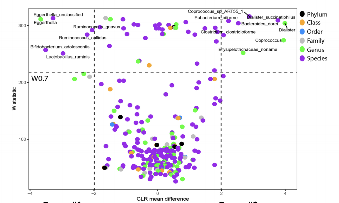
Graphical comparison of changes in large populations with "volcano plots"
I recently rediscovered a volcano plot – a scatter plot that aims to visualize changes in large populations. Volcano plots are very technical and specialized and, most probably, are not...
-

Data giraffe is sometimes a feature, not a problem
I wrote about data giraffes two weeks ago. Usually, “data giraffes” are a problem and we need to work hard in order to solve it. Sometimes, they are a useful...